QUICK FACTS
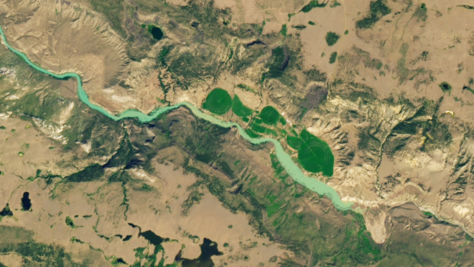
Where is it? The Chilcotin River, British Columbia [51.85860344, -122.82148613]
What's in the photo? Debris from a landslide blocking the flow of the river
Which satellite took the photo? Landsat 9
When was it taken? Aug. 1, 2024
Striking new satellite imagery shows a Canadian river quickly swelling in size after a massive landslide completely dammed the waterway. The obstruction may have also doomed an endangered salmon population by preventing the individuals that survived the sudden damming from reaching their spawning grounds upriver.