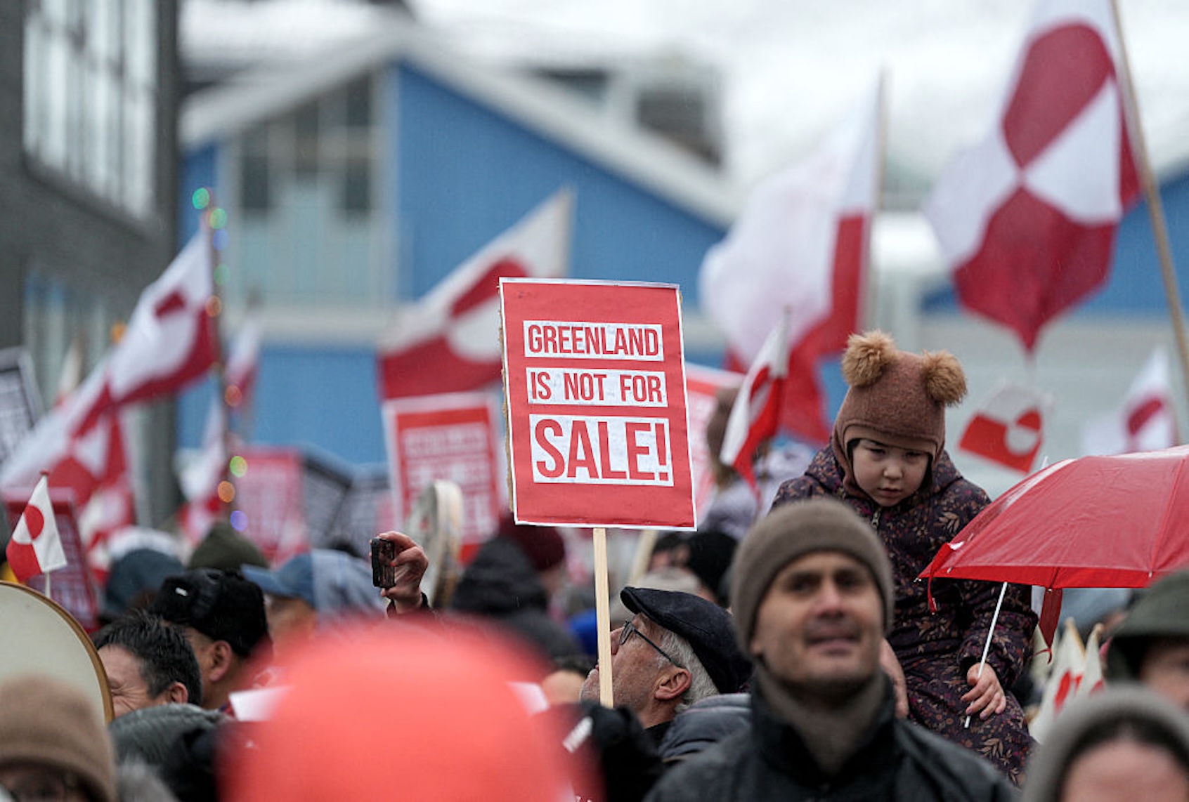
A few months after the 2020 election, New York Times reporter Peter Baker and his wife, the New Yorker’s Susan Glasser, traveled down to Mar-a-Lago to interview Donald Trump for their book “The Divider.” As Glasser wrote in the New Yorker on Jan. 8, they asked him in passing about his odd desire to take over Greenland, revelations of which had briefly appeared in the press and which they’d also heard about from some of his former staff. Trump told them he’d looked at the map and wondered, “Why don’t we have that?… Look at the size of this, it’s massive, and that should be part of the United States. It’s not different from a real-estate deal. It’s just a little bit larger, to put it mildly.”
It’s been speculated, notably by MSNOW’s Chris Hayes, that Trump was looking at the Mercator Projection map that we probably all remember from our grade school geography textbooks. For a variety of technical reasons, this navigation map distorts the size of the land masses near the poles. But it’s possible that Trump doesn’t know that and instead thinks that Greenland is about the size of the African continent. Greenland is about 25% bigger than Alaska, but it isn’t that big.